
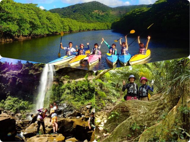
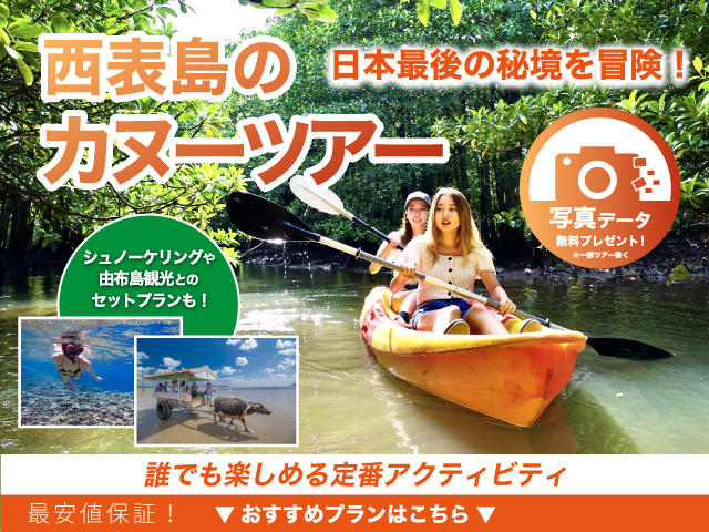
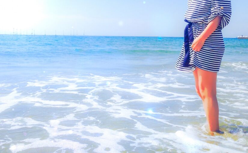
7 canoeing spots in Iriomote Island
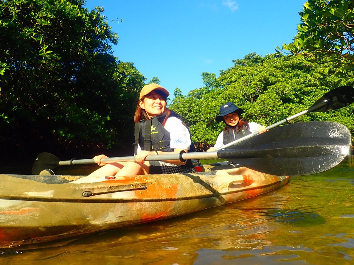
Table of Contents
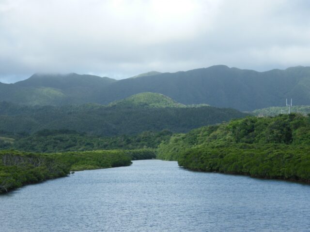
More than 90% of the island is surrounded by tropical rainforest!
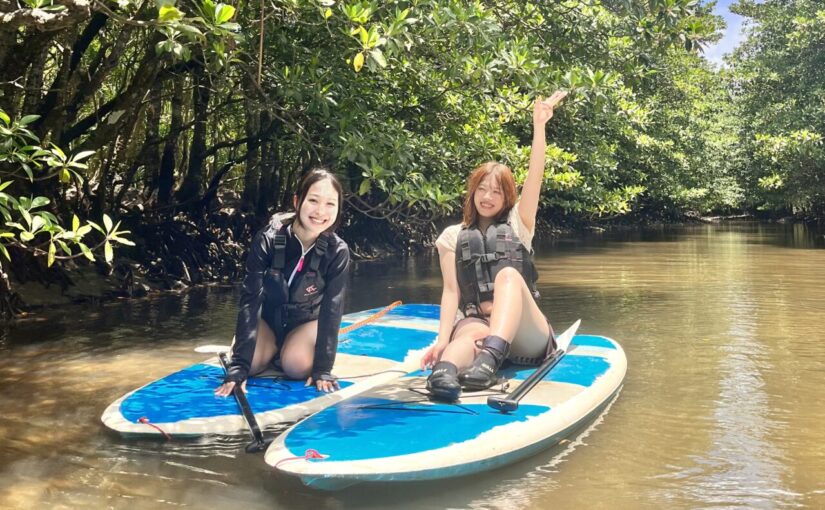
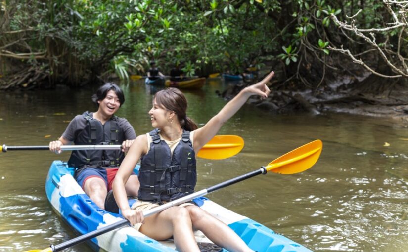
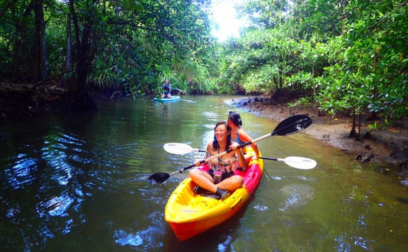
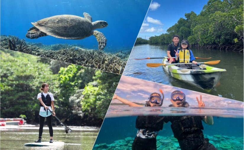
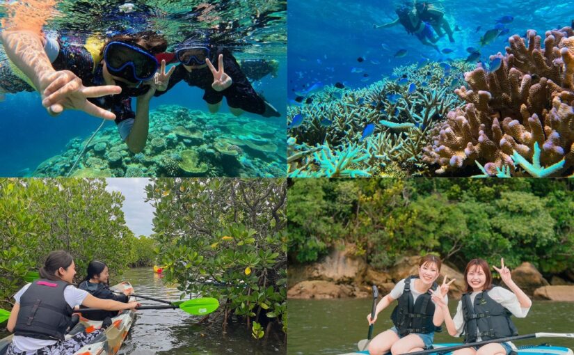
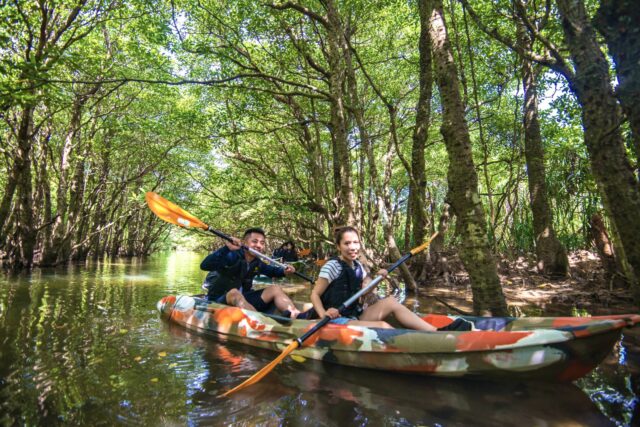
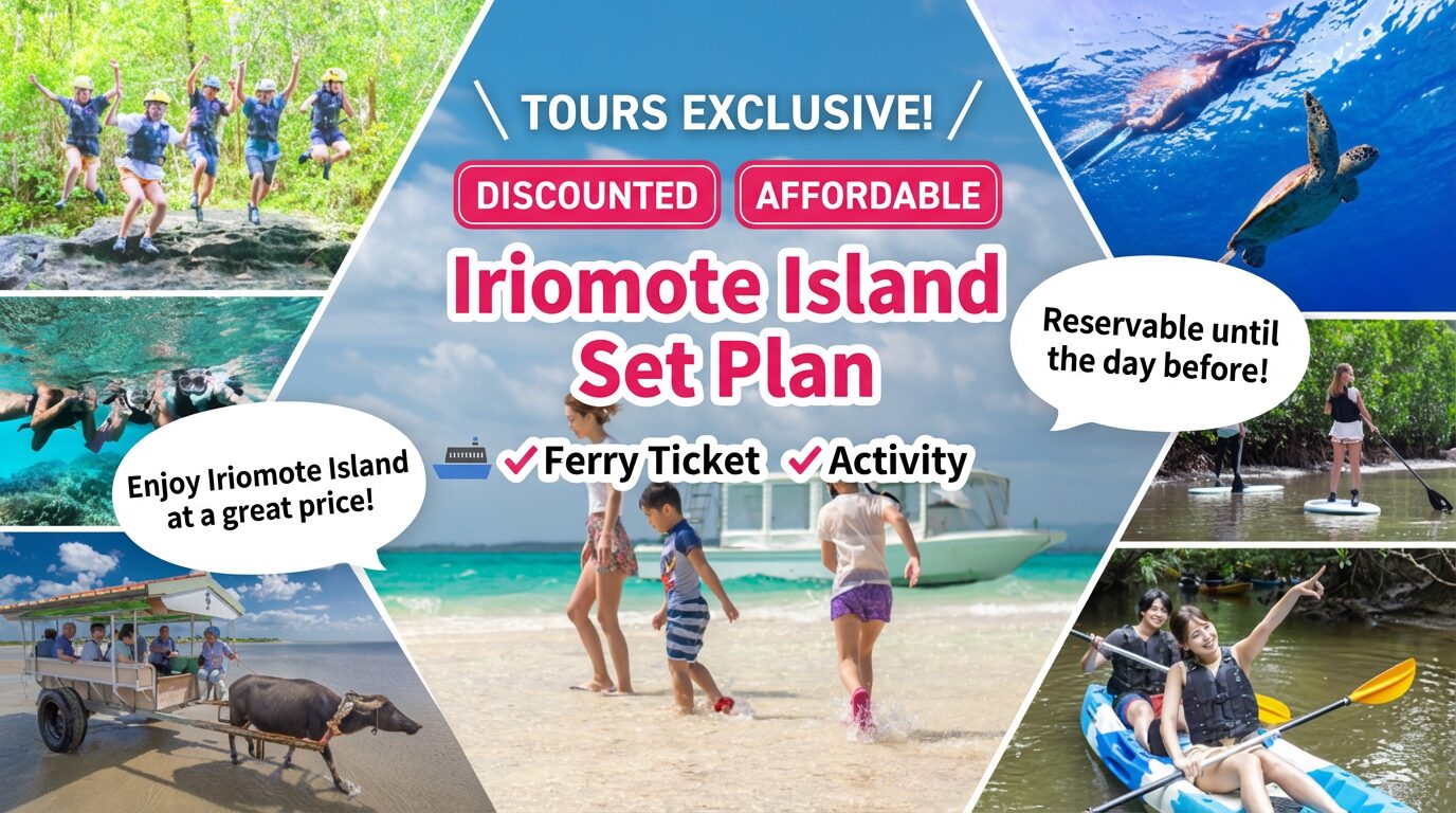
Mangrove Canoeing in Iriomote Island
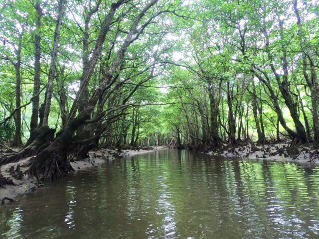
On Iriomote Island, mangroves found in subtropical regions such as the Amazon are widespread. Among them, the mangrove of "Nakama River" is especially famous as the largest in Japan. There is a tour to observe the mangroves by a sightseeing boat.
However, in order to see the mangroves from a closer distance, we will introduce seven recommended spots to visit by canoe and a set plan.
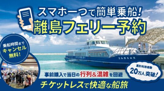
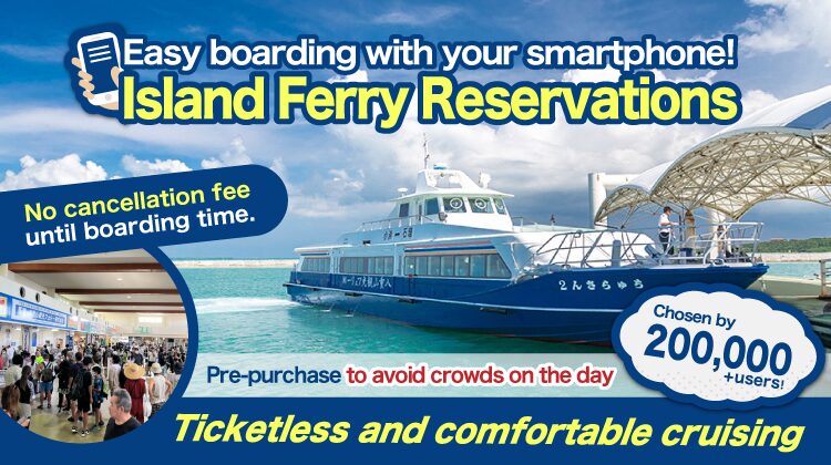
Click here for details on Iriomote Island ferry tickets.
Mangrove Canoe Spot in Iriomote Island
Hinai River

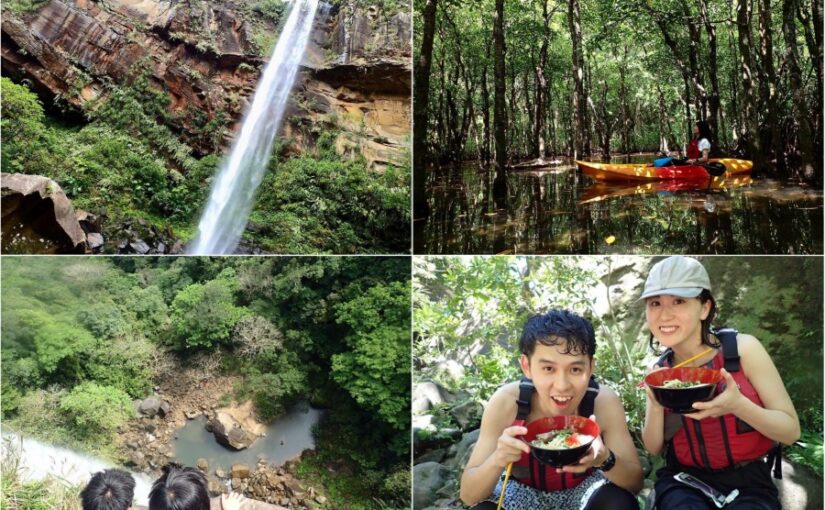
It is located in the western part of Iriomote Island and has been selected as one of the 500 most important wetlands in Japan. The total length of the river is 800 meters, and the area of mangroves is 3.200 hectares. The river itself diverges from the Mare River on the way, and going down the main stream, you will reach Pinaisara Falls.
In the Okinawan dialect, "pinai" means beard and "sahra" means something that has fallen, and legend has it that the name was derived from the sight of the water flowing from the falls, which resembled the beard of an old man. The Pinaisara waterfalls are home to fish such as tenagaebi and fune amagai, which make trekking around the waterfall pools enjoyable. The waterfall is also famous for its 55-meter drop, the largest in the prefecture. Trekking up to the top of the waterfall, you can see Barasu Island, Hatoma Island, and the beautiful ocean.
⇒Pinaisara FallsFor more information on
Click here for related plans
pale chub (Zacco platypus)

The river flows through the southern part of Iriomote Island and is 12,3 km long. Yaeyama palms, a national natural treasure, grow wild in the mountain area on the right bank 2 km from the river mouth. The mangrove area is about 300 hectares and the river width is over 200 meters.
The river's name is said to have originated from Nakama Village, which was established by immigration in 1711. Unlike other rivers, there are no coral reefs around the mouth of the river. It is the second largest river after the Urauchi River, and is one of the hottest installation spots where you can go up by pleasure boat or canoe. In the upper reaches of the Nakama River, visitors can see mangrove trees designated as a national natural treasure and the largest in Japan, such as the 400-year-old saxifrage tree, Yaeyama hirugi, Ohirugi, and Mehirugi.
⇒pale chub (Zacco platypus)For more information on
Maera (Myra River)

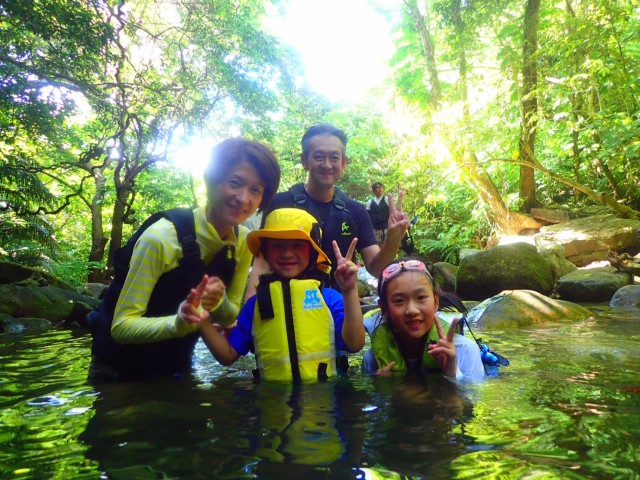
The Myra River, which is said to be the most beautiful in Iriomote Island, has a slow current and is recommended for beginners of mangrove canoeing. The time spent on the canoe is relatively short (30-40 minutes), so it is ideal for women, physically weak people, and families. After canoeing, you can enjoy jungle trekking, swimming or diving in a nearby waterfall.
⇒Myra River (Maera River)For more information on
Click here for related plans
Nishida River (Sangala)
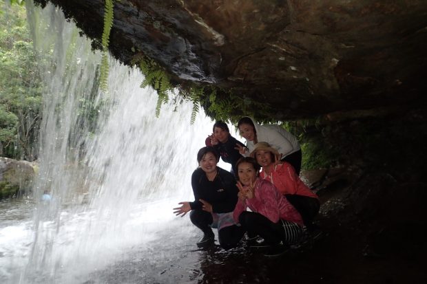
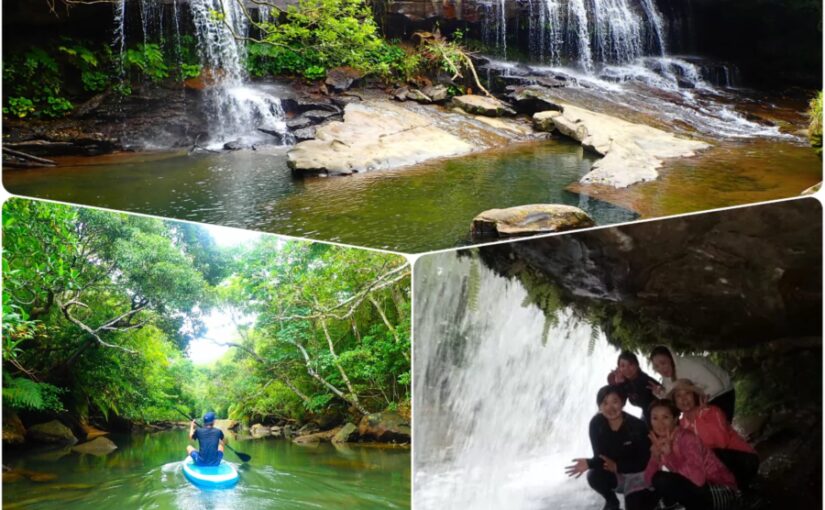
The river is next to the Pinai River, and upstream is the Sangala Falls. The waterfall's drop is only 7 meters, but the width of the river is 30 meters, giving it a powerful appearance. Visitors can also enter the back side of the waterfall basin to play, where creatures such as long-nosed shrimps live.
There are two ways to access the falls: one is by foot, an hour-long walk along an undulating path. The other is to take a canoe tour across the mangrove side and trek to the falls.
*Never go to the falls alone because of the lack of cell phone reception. We recommend that you take a canoe tour to the falls.
⇒Nishida River (Sangala) FallsFor more information on
Click here for related plans
Urauchi River

The Urauchi River flows through the center of Iriomote Island and is designated as a Class 2 river. It is also famous as the longest river flowing under Okinawa Prefecture. Mangrove forests consisting of seven kinds of trees, such as Ohirugi and Mehirugi, have developed in the river.
Downstream of the Urauchi River are Mariyudu Falls, one of the top 100 waterfalls in Japan, and Campire Falls, a 200-meter-long waterfall that would look great on a social networking site. You can take a cruise on a sightseeing boat, but if you want to take your time and enjoy the long river, a canoe cruise is recommended.
⇒Urauchi RiverFor more information on
Click here for related plans
Gora River (Shira River)
Source:4ravel
It takes about 15 minutes by car from Ohara Port and about 40 minutes from Uehara Port. There is an observatory from which visitors can enjoy the beautiful sky blue sky and the atmosphere created by the mangrove forest. From May to early July, visitors have a chance to see the "sagaribana," also known as the "overnight flower," which has a sweet vanilla-like fragrance, so it is a good time to visit.
Canoeing is a great way to enjoy the Shira River.
⇒Gora River (Shira River)For more information on
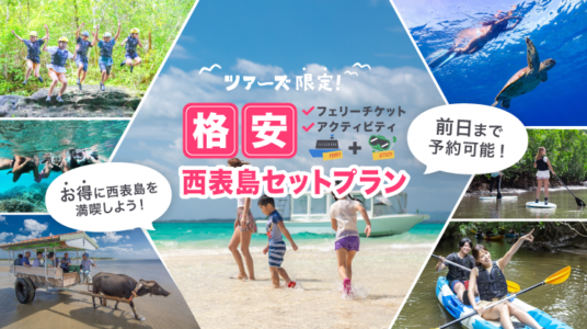
Save money by combining with other activities!
Iriomotejima Mangrove Canoe Tour
Now, I would like to present three specific plans.
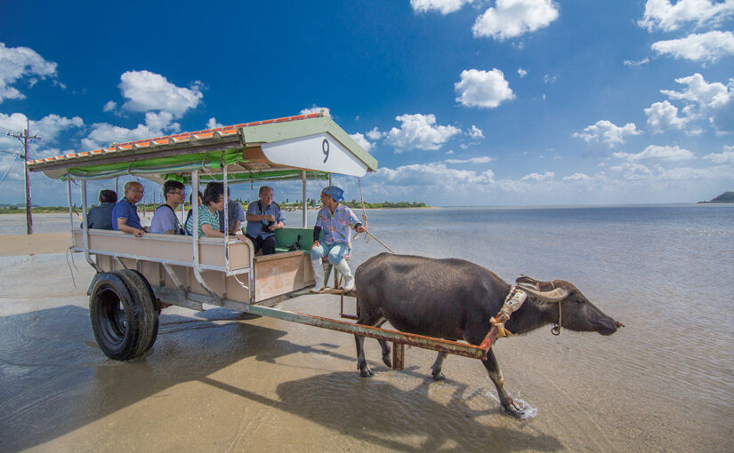
Hinai River x Yubu Island

We recommend the Pinaisaara Falls and Yubu Island Buffalo Car Tour. After canoe cruising along the mangrove-lined Hinai River, trekking to Pinaisara Falls, and then riding a buffalo cart to Yubu Island in the afternoon, this is a very simple plan.
The points to keep in mind are
- Anyway, take care of yourself.
- Pre-school children of elementary school age may also participate.
- Capacity of 14 people (can be organized from 1 person)
- Tour time: approx. 9:00 a.m. - scheduled to end at 4:30 p.m.
The four points are
The sun is strong, so bring UV protection, a towel, and a camera if you want to take pictures of the spectacular scenery. Of course, don't forget to take waterproof measures! Smoking is also allowed if you are a smoker and bring a portable ashtray (non-smoking is preferred if possible).
Before leaving by canoe, they will give you a lecture on how to paddle, so you don't have to worry about it. The simple itinerary is as follows: canoe stop → Pinaisara Falls → canoe stop → buffalo car ride to Yubu Island.
Click here to see the plan.
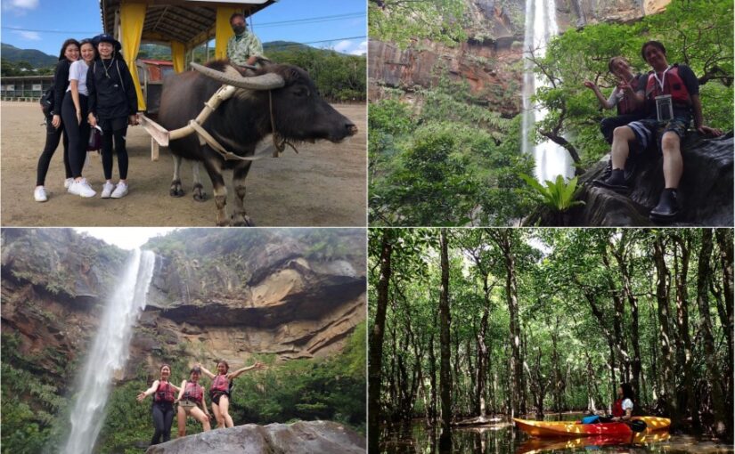
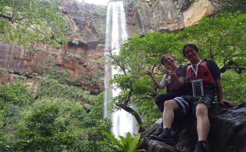
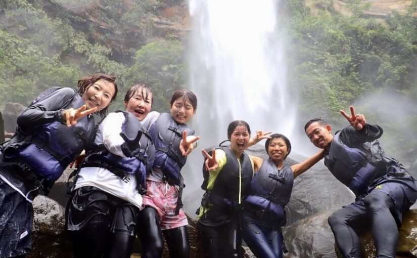
Kula River x Baras Island

Next, we will discuss one of the classic plans, the Fortune Falls (Coola Falls) and Barras Island!
To summarize the main points of the plan
- Fee: 15,000 yen flat rate
- Travel time: approx. 7.5 hours
- Kula River: Canoeing & Trekking Experience
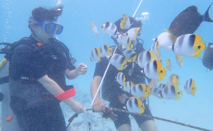
- Barras Island: Snorkeling Experience
- Participation requirement: 6 years old and up (5 years old and younger on request)
It is.
In addition, you can also experience canyoning (climbing up a mountain and descending a waterfall) at the same time. A commemorative photo shoot at Kula Falls is also included. Of course, a guide will accompany you on the tour, so you can rest assured that you are in good hands. Enjoy Barasu Island, the only two coral reef islands in the world!
*We are currently changing the area to the Kula River, not the Kula River.
Click here to see the plan.
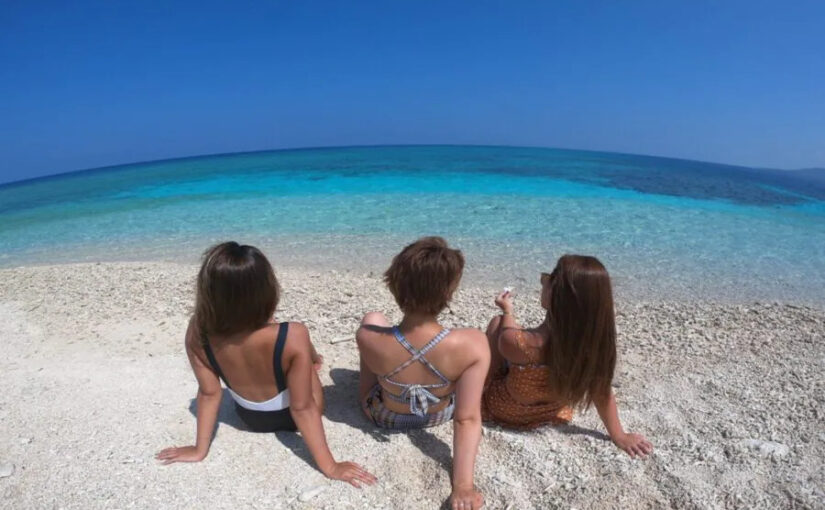
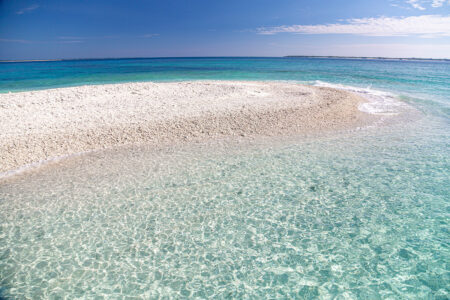
Kula River x Star Sand Beach

Finally, a tour of the Koura River and the Star Sand Beach.
The simple flow of the tour is as follows: cruising by canoe to the Koola River → trekking after arriving at Koola Falls → playing in the waterfall basin → cruising back to the meeting point → snorkeling at Hoshisuna Beach → disbanding after the tour.
Checkpoints are
- Holding period:All year
- Experience time: 6-7 hours
- Tour fee: 12,000 yen (tax included/person)
- Meeting time: 9:30
- Reservation application deadline: 18:00 the day before
It is.
There are many beautiful fish in the shallow water, and you will discover many things when you snorkel in the shallow sea, so let's experience it for ourselves.
*We are currently changing the area to the Kula River, not the Kula River.
Click here to see the plan.
summary
How was it? In this issue, we introduced seven mangrove canoeing spots and recommended tours. It looks like a fun trip by canoe around the mangrove forests, which are not only beautiful seas but also designated as national natural treasures. Why not take this opportunity to experience Okinawa outside of the main island?
Click here for a list of canoes in Iriomote Island
All the fun of Iriomote Island is here↓.
Iriomotejima Tours


")

")


 (1)")